
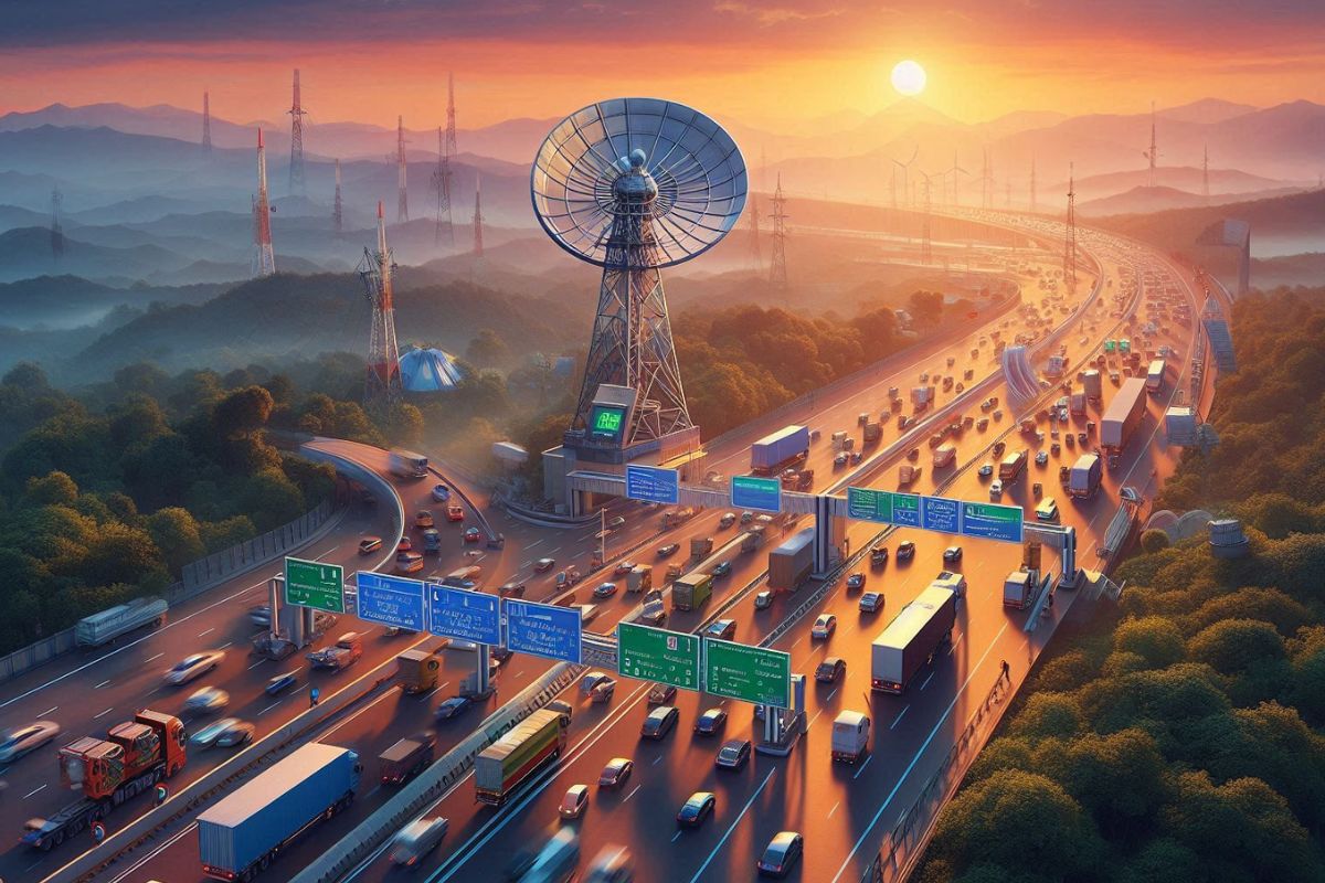
Changes were made to the National Highways Fee Rules by the Ministry of Road Transport and Highways. A new way to collect tolls was added using satellites. We’ve come a long way. The Global Navigation Satellite System (GNSS) is now being used in a new way to make it easy to pay tolls and make driving on India’s roads better.
The Global Navigation Satellite System (GNSS) is a network of satellites that sends signals to Earth therefore enabling GNSS receivers to ascertain exact location, speed, and time anywhere in the globe. It covers systems like GPS (USA), GLONASS ( Russia), Galileo (EU), and BeiDou ( China). Widely applied in navigation, aviation, agriculture, and smartphones, these systems provide required positioning information for civilian as well as military purposes.
Vehicles using GNSS-enabled On-Board Units (OBUs) will pay tolls simple based on distance travelled. This helps to lower traffic and travel times by removing the need to stop at toll booths.
Any trip will start with toll-free first 20 kilometers, which will encourage drivers to use this new technology.
The new system promises several benefits:
The parts between Bengaluru and Mysuru and Panipat and Hisar have already been tested by the Ministry and worked well. Full adoption is set to happen by April 2025, and the current FASTag system will be replaced in the long term.
The GNSS system has many benefits, but there are also some problems that need to be fixed. It will take a lot of work and money to make sure that OBUs are widely used and that the technology is integrated with the current infrastructure.
Indian roads are getting a lot more modern now that they use a GNSS-based toll system. The government thinks that this tech will make it easier and faster for millions of people to get where they need to go.


